WhiteBlaze Pages 2024
A Complete Appalachian Trail Guidebook.
AVAILABLE NOW. $4 for interactive PDF(smartphone version)
Read more here WhiteBlaze Pages Store

Results 1 to 15 of 15
  1. #1

    Default Cheaha-Pinhoti cave creek loop advice

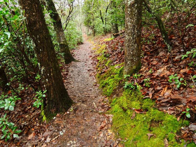
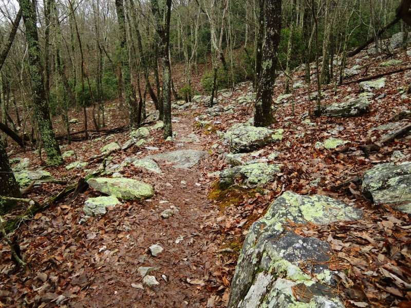
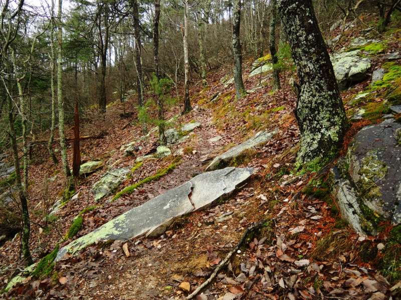
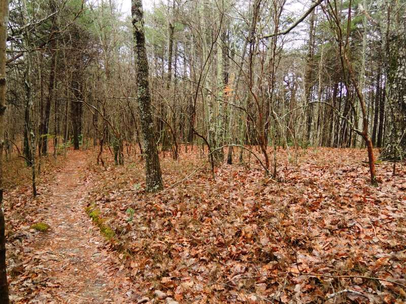
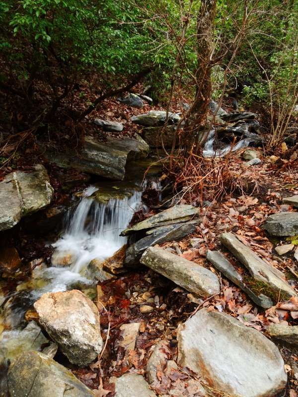
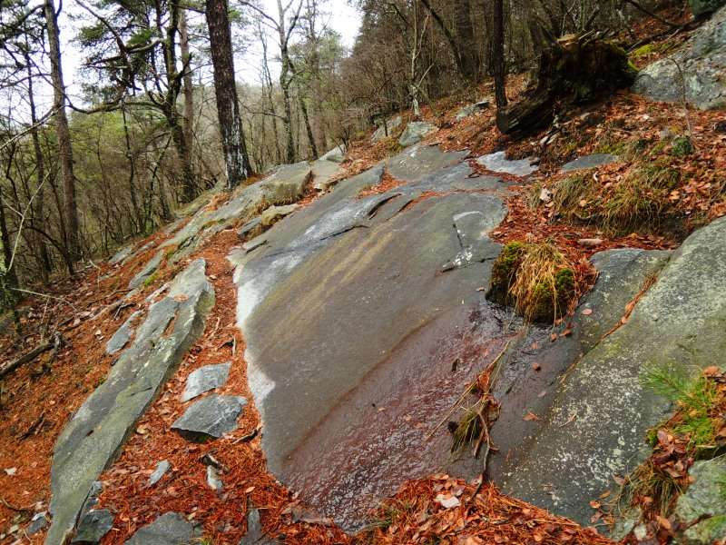
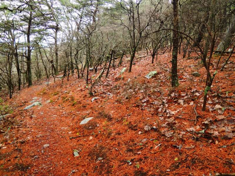
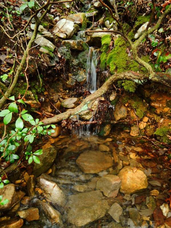
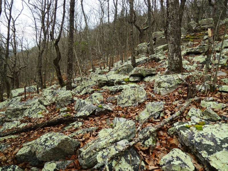
    Planning to do a single overnight getaway most likely on the pinhoti-cave creek loop and looking for advice/suggestions. I understand water is hard to come by on this section of the pinhoti but can a reliable water source be found on cave creek? Taking a good campsite into consideration, which direction of travel would be best if trying to cover more ground on the first day, leaving a shorter hike out.

  2. #2
    Registered User
    Join Date
    08-08-2013
    Location
    Central Alabama
    Age
    54
    Posts
    40

    Default

    There is 90% chance of showers in the area tomorrow, so most anything that will hold water will likely have it.

    Are you doing the short loop (Cave Creek, the short connector trail, Pinhoti) or the long loop (Cave Creek, Nubbin Creek, Odum, Pinhoti)? Knowing that will help folks give you more specific water tips.

    Your best scenery and hardest walking will be on the Pinhoti. McDill Point is a must-see side trip.

  3. #3
    Registered User
    Join Date
    08-08-2013
    Location
    Central Alabama
    Age
    54
    Posts
    40

    Default

    Oops---was thinking you'd said this weekend, so ignore the 90% showers part if you're not going this weekend.

  4. #4

    Default

    Sorry. Doing the longer loop including odom, nubbin creek. No, won't be this weekend. Holding out for better weather.


    Sent from my iPad using Tapatalk

  5. #5
    Registered User
    Join Date
    08-08-2013
    Location
    Central Alabama
    Age
    54
    Posts
    40

    Default

    I usually let the weather determine my direction on this loop and hike the Pinhoti leg on the clearest day to better enjoy the overlooks. I think navigation is easier doing the Cave Creek leg first---Odum can be a little hard to find and follow from the Pinhoti. Not crazy hard, but can be kinda tough to spot if you've never walked it before.

    All that aside, if you're looking for an easier/shorter day the second day, I'd hike the Pinhoti leg first. The footing is harder on the Pinhoti than on the rest of it. You'll have a nice rock garden to navigate that happens on a section between the side trail to McDill Point and the intersection with Odum/Chinnabee Silent. And you'll want to stop more for overlooks etc. on the Pinhoti. Even if you end up with similar mileages both days, you'll probably move faster on the Cave Creek leg.

    For water, there isn't much on the Pinhoti leg. If you're doing Pinhoti section first: when you hit the junction with Odum/Chinnabee Silent, stay straight on Pinhoti for 50 yards or so heading toward Adams Gap and you'll come to a stream bed that hopefully has water in it. If there is none there, go back to trail junction and turn on Chinnabee Silent. You'll start downhill--look for side trails going to the left where people sometimes pull water out of seeps. If you don't find any there and walk far enough on Chinnabee Silent, you'll eventually hit water. Worst case scenario is that you'll end up at a stream almost at Turnipseed Camp and will really, really hate that you walked that far downhill to find water and will figure you'd have done better to stay on course with your loop and made it to the stream on Nubbin.

    On Odum leg, there is a small campsite somewhat near junction of Nubbin Creek Trail. If you go downhill behind that campsite just a little way to the bottom, you may find a tiny bit of water there, but it's pretty rare. On Nubbin Creek, there is a stream a mile or so from the top that you likely won't see dry unless it's the dead of summer. Also a great (but popular) campsite there.

    On Pinhoti leg for campsites, you'll find several at the intersection with Odum/Chinnabee Silent (it's a large open area with a few fire rings and people set up wherever). There are also a couple of spots away from that junction back in direction of McDill. Or if you take Pinhoti toward Adams Gap (going off your loop) for good half mile or so, you'll pass another couple of sites.

    On Cave Creek, you'll find reliable water where stream crosses the trail---don't have the map in front of me, but if you're doing this loop in a single night, whichever direction you're walking, that stream likely wouldn't be much use to you unless you just needed to top off.

    Other folks may have another water source etc to add, but those are the ones I typically look for.

  6. #6

    Default

    Just the info I was looking for. Thanks. Greatly appreciated.


    Sent from my iPad using Tapatalk

  7. #7
    Registered User Drybones's Avatar
    Join Date
    10-13-2010
    Location
    Gadsden, AL
    Age
    75
    Posts
    3,187

    Default

    There is a dependable stream near the intersection of the Pinhoti/ Chinnabee/Odum trails...go south of the stream on the Pinhoti about 100 yards for a good camp spot.

  8. #8
    Registered User
    Join Date
    08-08-2013
    Location
    Central Alabama
    Age
    54
    Posts
    40

    Default

    For clarity, I think the stream Drybones is talking about is the same one I call the "stream bed that hopefully has water in it." I've found at least a little water there most times I've needed it, but have also seen it bone dry.

  9. #9
    Registered User dhagan's Avatar
    Join Date
    10-20-2014
    Location
    Birmingham Al
    Age
    62
    Posts
    96

    Default

    I was on the pinhoti last weekend. Tons of water flowing at the intersection of Pinhoti, silent trail. Also, several spots on cave creek had water going from the connector trail to trailhead. If you are going clockwise from Cheaha trailhead, there is not much water after the intersection of Pinhoti and silent trail. And its about 6 miles back to the trail head. Yes, McDill is a must! http://www.pinhotitrailalliance.org/ has a really good guide for that loop, with campsites water etc...

  10. #10

    Default

    I do the Cave Creek loop a few times per year, and always do Cave Creek first. It's not a hard hike, so there's not much advice to give. I do it when needing a convenient quickie with a late start, beginning in the early afternoon, and out before lunch the next day if I don't seriously oversleep. There are several water sources on the way in via Cave Creek, but I've never needed to use them. I top off at the spring, and camp near Caney Head if I want a fire, or further along on top of one of the ridges if I don't. With the short distance, and a water source right in the middle, water has never been an issue. I typically carry two .7L Smartwater bottles in summer, and one when it's cold. The stream near the Pinhoti junction is seasonal.
    Snagged these from a mini-TR I did in Feb 2014. I really enjoy Cave Creek's diversity considering it's following the underside of ridgelines a lot of the way.


    The Pinhoti section is more "Pinhoti-ish", of course


  11. #11

    Default

    Excellent pics Owen M, Glad you shared then here.

  12. #12

    Default

    Completed the Cave Creek, Nubbin Creek, Pinhoti Loop on Tuesday of this week. Started about 6:30a and finished up at 2:30p. Parking lot at Cheaha TH was fairly full with new asphalt and paint applied. The morning started off in the mid-20s but warmed up nicely as the day went along. Heard heavy gun/mortar fire at McDill. Possibly of the Pelham Range variety. Had lunch at McDill Point. Saw about 22 other hikers total among 5 separate groups along the way. There are several new side trails along the way that seem to have had a lot of traffic.

    Here are a few pics from the trip.


  13. #13

    Default

    Interesting they have removed the blazes but have replaced the wooden directional signs. I'll never understand the minutiae of those folks that make those decisions. Total mouth breathers.

  14. #14

    Default

    Quote Originally Posted by golfjhm View Post
    Interesting they have removed the blazes but have replaced the wooden directional signs. I'll never understand the minutiae of those folks that make those decisions. Total mouth breathers.
    Yes, the signs look great but I was surprised they were still there at all. We did see where the blaze removal had occurred through this stretch as well. I suppose brown spray paint is approved for Wilderness use since it is near useless as a functional blaze.


  15. #15
    Registered User
    Join Date
    04-26-2015
    Location
    Piedmont, AL
    Age
    37
    Posts
    6

    Default

    We might have passed on the Pinhoti Tuesday. 6 adults 5 kids. We went to McDill and back. Beautiful day.

++ New Posts ++

Posting Permissions

  • You may not post new threads
  • You may not post replies
  • You may not post attachments
  • You may not edit your posts
  •