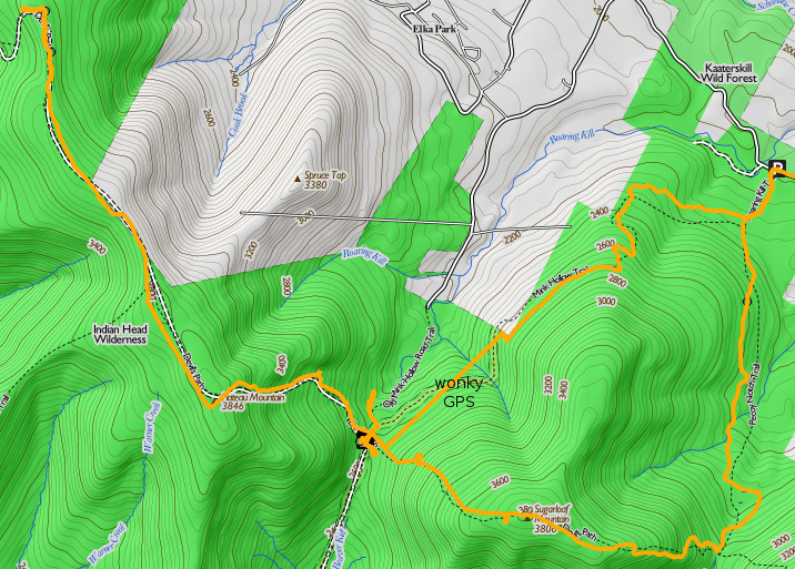
I've had this free ap for a while but am just starting to use it. I think i'm in love. You use your phone to take a picture of ANY map, then calibrate the map to google maps on your phone (the ap helps you to do this...), and you've created a map which you can use with your phone in low-power "plane" mode, or you can turn on your gps and keep a track or locate yourself on your new map. Your new map just needs two or three identifiable calibration points -- road intersections, river bends, buildings are all good. I'm about at the average guy point for phone and computer saavy, and have not made any headway in getting another trail ap to import trail information. This looks like it'll work for me. Imagine getting to a trailhead somewhere, seeing a map posted, and being able to walk away with a gps-ready trail map! I've got to go take photos of the CT Walkbook... (that would be connecticut, not continental, unfortunately)
- Home
- Forum
- Journals
- Gallery
- What's New?
- Todays Posts
- 2,000 Miler Listing
-
Odd & Ends
- About WhiteBlaze/Tools
- About WhiteBlaze
- WhiteBlaze user agreement
- WhiteBlaze logo progression
- WhiteBlaze screen savers
- Purchase a banner spot
- Quick reference
- Usercp
- Subscribed Threads
- Members List
- Calendar
- Mark all forums read

 Reply With Quote