WhiteBlaze Pages 2024
A Complete Appalachian Trail Guidebook.
AVAILABLE NOW. $4 for interactive PDF(smartphone version)
Read more here WhiteBlaze Pages Store

Results 1 to 8 of 8

Thread: PDF maps of AT?

  1. #1
    Registered User Lea13's Avatar
    Join Date
    10-23-2011
    Location
    Honolulu, Hawaii
    Age
    35
    Posts
    23
    Images
    12

    Default PDF maps of AT?

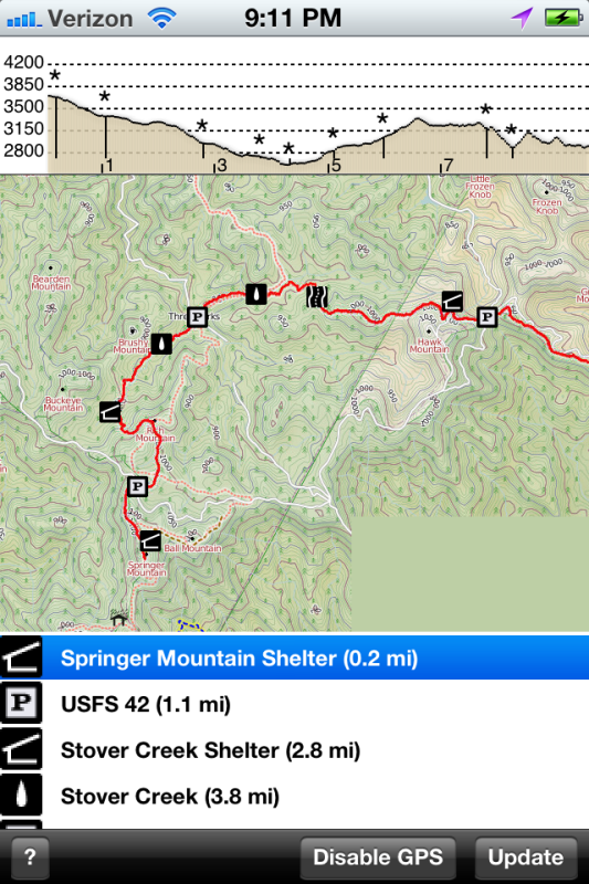
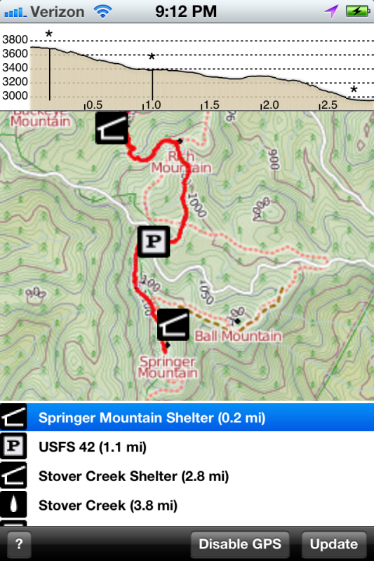
    Does anyone know if there are accurate/up-to-date maps of the AT by section (like the maps sold by the ATC) available in PDF form?

    I am planning to rely on my iPhone a lot (camera, communication, music, journal, itinerary, etc...) and being able to store test maps in PDF form on the phone would help lighten my pack, while still having the maps available when I'm in out-of-service areas (which can be an issue w some of the apps).

    Any recommendations are appreciated

  2. #2
    Backing Back into Backpacking
    Join Date
    09-07-2007
    Location
    Greensboro, NC
    Age
    50
    Posts
    433
    Images
    4

    Default

    Trail Map Magic Apps might have what you are looking for. You can get the AT topo and profile maps. I have used the app and was pleased with it.
    The key to success in achieving a goal is focusing not on how far you have to go, but rather how far you have come.

    “I can do all things through Christ who strengthens me” Phil 4:13

  3. #3

    Default PDF maps of AT?

    I have a 2007 guide in PDF form I found online. Very handy. You just sync it with iTunes and put it in the iBooks app. Done.

  4. #4

    Default

    I'd go with Ashman's suggestion. Maps are images, and need to be treated as such. pdf is more suited to text than images.


    The pdf companion is worth getting for a guide, but a little clumsy to use on a mobile reader.
    Follow slogoen on Instagram.

  5. #5
    Backing Back into Backpacking
    Join Date
    09-07-2007
    Location
    Greensboro, NC
    Age
    50
    Posts
    433
    Images
    4

    Default

    Here are some screen shots of the Trail Map App. the first shot is the default setting when you open up the Georgia section:


    This second shot is zoomed in to show more detail. Note how the scale of the profile changes with the zoom:


    Another nice feature once you are on trail, you can "ping" your location and it shows where you on along the way.
    The key to success in achieving a goal is focusing not on how far you have to go, but rather how far you have come.

    “I can do all things through Christ who strengthens me” Phil 4:13

  6. #6

    Default PDF maps of AT?

    I have an app called "attrail 8". It works in airplane mode for viewing maps.

  7. #7
    Registered User Lea13's Avatar
    Join Date
    10-23-2011
    Location
    Honolulu, Hawaii
    Age
    35
    Posts
    23
    Images
    12

    Default

    Ashman and stevej00, that looks fantastic! I'm thrilled to hear that it'll still work as an image without internet access (and so much more w it), and it looks like this app adds up to be a lot cheaper than buying the hardcopy maps too. Thanks for the info

    Honestly, I'm not too concerned about the format (as long as it's readable/ usable), PDF is just the most common format I've used/ found for these kinds of images. I'm actually using an excel spreadsheet for my guide/itinerary because I find it easier to interact w than PDFs, but I suppose we all use technology in our own ways.

    Happy Trails!

  8. #8
    Registered User
    Join Date
    08-09-2012
    Location
    Newport, TN
    Age
    61
    Posts
    1

    Default

    Just bought that app, but it was confusing with 16 versions, all of them updated in January 2012 and the same price. Luckily uncertainty never slows me down.


    You gotta have Kavvanah...Mt 6:7

++ New Posts ++

Posting Permissions

  • You may not post new threads
  • You may not post replies
  • You may not post attachments
  • You may not edit your posts
  •