Results 1 to 17 of 17
  1. #1
    Registered User lonehiker's Avatar
    Join Date
    11-18-2005
    Location
    Cheyenne, WY
    Age
    60
    Posts
    1,440

    Default Large PCT wall map

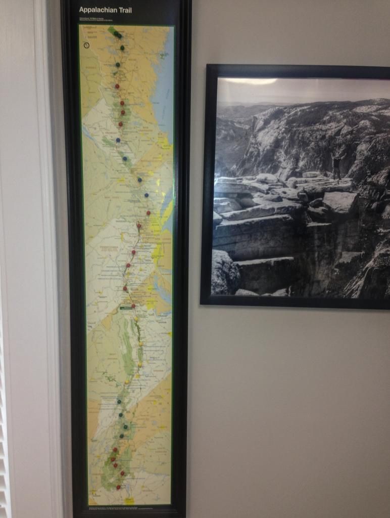
    I have been unable to locate a large PCT wall map. Largest I can find is Blackwoods press 18X24". Anyone know of a larger one that is available?
    Lonehiker (MRT '22)

  2. #2
    Registered User just dad's Avatar
    Join Date
    02-07-2010
    Location
    Sarasota, Florida
    Age
    62
    Posts
    88

    Default

    A map/brochure that is approximately 18" x 48" used to be available at the PCT Association store. I don't see it on the store's website any longer. A digital image is available at the link at the top of this page http://www.fs.usda.gov/main/pct/maps-publications

  3. #3
    PCT 2013, most of AT 2011, rest of AT 2014
    Join Date
    11-27-2011
    Location
    Tucson
    Age
    36
    Posts
    778

    Default

    I don't know what type of printing resources and computer skills you have, but you can use Illustrator or a similar program to splice Halfmile's overview maps into one document and print it out in some kind of large size. My girlfriend did this in our house while I was on the PCT.
    "Hahk your own hahk." - Ron Haven

    "The world is a book, of which those who do not travel read only a page." - St. Augustine

    http://www.scrubhiker.com/

  4. #4

    Default

    I thought Blackwoods had 2 sizes, the 18x24 being the smaller one. You may try an email to them.

    chris
    Chris "Flash" Gordon
    LT -1987, 2012; West Highland Way & Cape Wrath Trail, Scotland - 2008; AT - 2009

  5. #5
    Registered User lonehiker's Avatar
    Join Date
    11-18-2005
    Location
    Cheyenne, WY
    Age
    60
    Posts
    1,440

    Default

    The website only has the one size. But thanks for the suggestion, I will send him an e-mail. Can't hurt for sure.
    Lonehiker (MRT '22)

  6. #6
    CF97 > Everything Else.
    Join Date
    09-09-2011
    Location
    Freeport, IL
    Age
    35
    Posts
    291

    Default

    Quote Originally Posted by SCRUB HIKER View Post
    I don't know what type of printing resources and computer skills you have, but you can use Illustrator or a similar program to splice Halfmile's overview maps into one document and print it out in some kind of large size. My girlfriend did this in our house while I was on the PCT.
    Does your girlfriend still have the file ?
    "... I know it is wrong, but I am for the spirit that makes young men do the things they do. I am for the glory that they know." --Sigurd Olson, Singing Wilderness.


    AT '12, LT '13, CT '14, PCT '15

  7. #7
    Registered User lonehiker's Avatar
    Join Date
    11-18-2005
    Location
    Cheyenne, WY
    Age
    60
    Posts
    1,440

    Default

    I ended up using Halfmile's overview map and having FedEx/Kinkos blow it up to 36X48". I ended up having them print it in black and white as the cost was about $10 as opposed to $70 if it would have been done in color. With what I will be using it for, black and white will work fine.
    Lonehiker (MRT '22)

  8. #8

    Default

    The PCTA just sent me a big one, after my membership/donation. Not sure how big, but much larger than 24"

    send them $20 and ask for it, I'm sure they'd be happy to oblige!

  9. #9
    Ricky and his Husky Jack
    Join Date
    05-04-2014
    Location
    Dalton, Georgia, United States
    Age
    40
    Posts
    794
    Images
    14

    Default

    Quote Originally Posted by lonehiker View Post
    I ended up using Halfmile's overview map and having FedEx/Kinkos blow it up to 36X48". I ended up having them print it in black and white as the cost was about $10 as opposed to $70 if it would have been done in color. With what I will be using it for, black and white will work fine.
    do you have a photo of it on the wall, for comparrison?
    Me: Ricky
    Husky: Jack
    Skeeter-Beeter Pro Hammock.
    From Dalton, Georgia (65 mi above Altanta, 15mi south of Chattanooga)

  10. #10

    Default

    A few months ago I looked into creating large very detailed PCT wall maps with all the data I have available, as in 8 feet by 3 feet. Complete trail and by state, CA divided into 2 maps.

    I looked at 2 ways of doing it. The first was outsourcing it. The cost of doing this was in the $240 range per 8x3 map. That seemed prohibitive, so I balked on that approach.

    The second was to buy a good color plotter for $3400+ and print them myself. With that, I could make the 8x3 maps available in the $80 range. That still seemed pretty steep. I can't imagine there being a huge demand, so I balked again.

    Any thoughts?

    -postholer

  11. #11

    Default

    I am surprised at the cost. My local Staples has a high resolution ink jet plotters than can plot out large pdf files. I recently had them plot out a 30" by 8' long outdoor vinyl banner with their plotter and it was less than $100. I expect there was a premium for the base stock. It may be worth checking with them or talking to store that supports construction projects. Realistically I don't see you getting it under $50.

    I did get a bit of chuckle at Staples, they plotted it out on 48" wide plotter but the maximum width their software could handle was 30" so they had to cut off a 18" wide blank strip off the banner after plotting

  12. #12
    Registered User ChinMusic's Avatar
    Join Date
    05-22-2007
    Location
    Springfield, Illinois, United States
    Age
    65
    Posts
    6,384

    Default

    8' by 3' is bigger than most folks would want. 4' tall would work well. That is the type of poster I have on my wall of the AT.
    Fear ridges that are depicted as flat lines on a profile map.

  13. #13
    Ricky and his Husky Jack
    Join Date
    05-04-2014
    Location
    Dalton, Georgia, United States
    Age
    40
    Posts
    794
    Images
    14

    Default

    Quote Originally Posted by ChinMusic View Post
    8' by 3' is bigger than most folks would want. 4' tall would work well. That is the type of poster I have on my wall of the AT.
    can you post a pic of it on the wall, so we can see the size comparison/contrast.
    Me: Ricky
    Husky: Jack
    Skeeter-Beeter Pro Hammock.
    From Dalton, Georgia (65 mi above Altanta, 15mi south of Chattanooga)

  14. #14
    Registered User ChinMusic's Avatar
    Join Date
    05-22-2007
    Location
    Springfield, Illinois, United States
    Age
    65
    Posts
    6,384

    Default

    Quote Originally Posted by Ricky&Jack View Post
    can you post a pic of it on the wall, so we can see the size comparison/contrast.
    Here you go.

    Fear ridges that are depicted as flat lines on a profile map.

  15. #15
    Ricky and his Husky Jack
    Join Date
    05-04-2014
    Location
    Dalton, Georgia, United States
    Age
    40
    Posts
    794
    Images
    14

    Default

    well that is mighty impressive. fancy frame and all.
    Me: Ricky
    Husky: Jack
    Skeeter-Beeter Pro Hammock.
    From Dalton, Georgia (65 mi above Altanta, 15mi south of Chattanooga)

  16. #16
    Registered User ChinMusic's Avatar
    Join Date
    05-22-2007
    Location
    Springfield, Illinois, United States
    Age
    65
    Posts
    6,384

    Default

    Thanks. I placed a pin for every Sunday on the AT thru with a new color for the next month. And yes, there is an error for June, since fixed. There were not six Sundays in June. I had placed an extra pin in error.

    I would want to do something similar for the PCT. It gave the folks at home something to follow during the thru and something for me to stare at once I got home.
    Fear ridges that are depicted as flat lines on a profile map.

  17. #17

    Default

    Quote Originally Posted by ChinMusic View Post
    Here you go.

    That's pretty cool Chin, you can visually see how in VA your mileages really picks up, and respectively less in tougher areas...you really booked through the 100 mile wilderness (headin for the house at that point).


    ...that first day out gets an honorable mention as well.
    Last edited by rocketsocks; 05-31-2014 at 05:54. Reason: various spelling and gramanicle earatations

++ New Posts ++

Posting Permissions

  • You may not post new threads
  • You may not post replies
  • You may not post attachments
  • You may not edit your posts
  •