Hey everybody--You may know that up to two feet or more of snow fell on much of the A.T. at the end of December. Cold weather persisted, and in some areas, snow was still lingering, at least prior to yesterday's rain and today's relatively warm temperatures (48 degrees here in Harpers Ferry, high of 37 degrees forecast for Mt. LeConte in the Smokies, where 8" of snow is currently reported).
It would be helpful if hikers would report conditions they encountered. If you come across blowdowns, detailed reports (location, size, whether they present hazards to hikers) can be very useful to the local club. Post here and/or email to [email protected] and we can forward.
Portions of TN and NC and southwest Virginia are the areas most likely to have extensive blowdowns. There may be snow at the highest elevations and north-facing slopes.
Surely some folks at the SORUCK ventured out and have something to report?
Here are the reports we heard here at ATC last week:
Georgia - Mostly clear. GATC President Gary Monk reported that the club was able to clear all blowdowns in the area they were working. Little or no snow at that time.
Central Virginia - Mostly clear. NBATC President Norm Sykora, reported that a aportion of their section had been scouted and no problems were reported.
Shenandoah - Unknown. PATC Supervisor of Trails John Hedrick reported that even trails at lower elevations at the park boundary were inaccessible due to snow and ice.
Northern Virginia - The 1.2 mile section my husband and I maintain from Blackburn south had only a few small blowdowns. Snow ranged from none to 6inches on Saturday; most of that will probably be gone by the end of today.
Maryland - Mostly clear. Hikers reported no blowdowns between US 40 and Harpers Ferry. Trail had a mix of snow and bare patches as of Saturday; most of that will probably be gone by the end of today.
Laurie P.
ATC
- Home
- Forum
- Journals
- Gallery
- What's New?
- Todays Posts
- 2,000 Miler Listing
-
Odd & Ends
- About WhiteBlaze/Tools
- About WhiteBlaze
- WhiteBlaze user agreement
- WhiteBlaze logo progression
- WhiteBlaze screen savers
- Purchase a banner spot
- Quick reference
- Usercp
- Subscribed Threads
- Members List
- Calendar
- Mark all forums read

 Reply With Quote


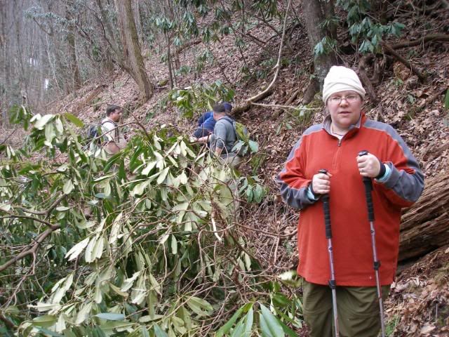
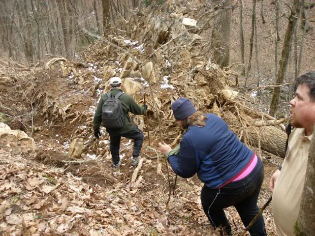
 . In addition to the detailed report that Laurie mentioned, a photo would help to visualize what might be required. Maybe lean your hiking poles against it for reference.