


Anyone use this book on CDT? I understand they have put a lot of work into this and into the trail. One is able to download all the gps points they have in the book (fully gps'ed). Looks like J. Ley has some competition. I like to see this-an official trail, official maps and books. It is confusing at times all the different maps and etc., on the CDT. I wonder if AT or PCT started out like that.
- Home
- Forum
- Journals
- Gallery
- What's New?
- Todays Posts
- 2,000 Miler Listing
-
Odd & Ends
- About WhiteBlaze/Tools
- About WhiteBlaze
- WhiteBlaze user agreement
- WhiteBlaze logo progression
- WhiteBlaze screen savers
- Purchase a banner spot
- Quick reference
- Usercp
- Subscribed Threads
- Members List
- Calendar
- Mark all forums read

 Reply With Quote

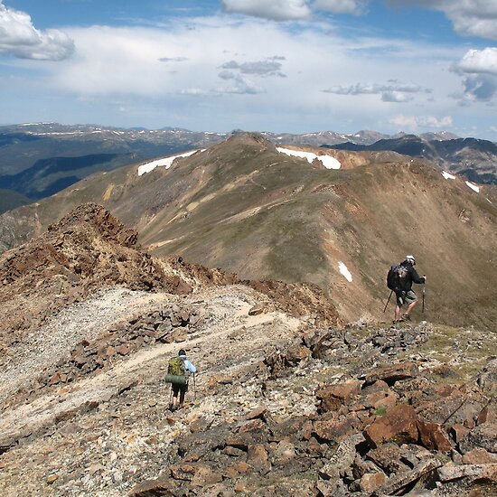


 Do it if you can. The 'official' CDT did make for a good ski tour though when combined with Fall River and nearby roads.... Sheltered, out of the wind and no avalanche danger. I would not want to ski the entire ridge (at least not until the snow pack consolidates until spring!)
